
Light Detection and Ranging (LiDAR)
Optech ILRIS-HD
Technical Specifications
The Optech ILRIS is a compact, field-ready ranging and imaging system designed for survey, engineering, earth science and industrial use. This instrument is user-friendly, requiring no specialized training.
The optical scanning system includes: embedded operating software, 10kHz minimum laser repetition rate, Class 1 infrared laser, optics and scanning mirrors, colour LCD screen, high resolution colour channel with internal camera, ethernet and wireless adaptors and USB memory for data storage. A fully motorized positioning base provides automated scanner positioning. Raw data is extracted and processed using Optech PARSER software, which provides a variety of output formats for use in GIS and 3D modelling software. PolyWorks IMAlign software allows for the production of aligned point cloud from multiple, overlapping scans.
Applications to Research
Kelly, T. 2014. Reservoir performance and architecture of a fluvial meanderbelt system, Joggins Formation, Nova Scotia (M. Eng. Thesis)
Wong, C. 2014. Lidar survey of the Joggins Formation in the Coal Mine Point section, Cumberland Basin (Nova Scotia, Canada) (B.Sc. Research Thesis)
Vaughn, M. 2011. High Resolution Radar Stratigraphy (GPR) of Braided Channel Complexes in the Triassic Wolfville Formation - Controls on Reservoir Heterogeneity (B.Sc. Honors Thesis)
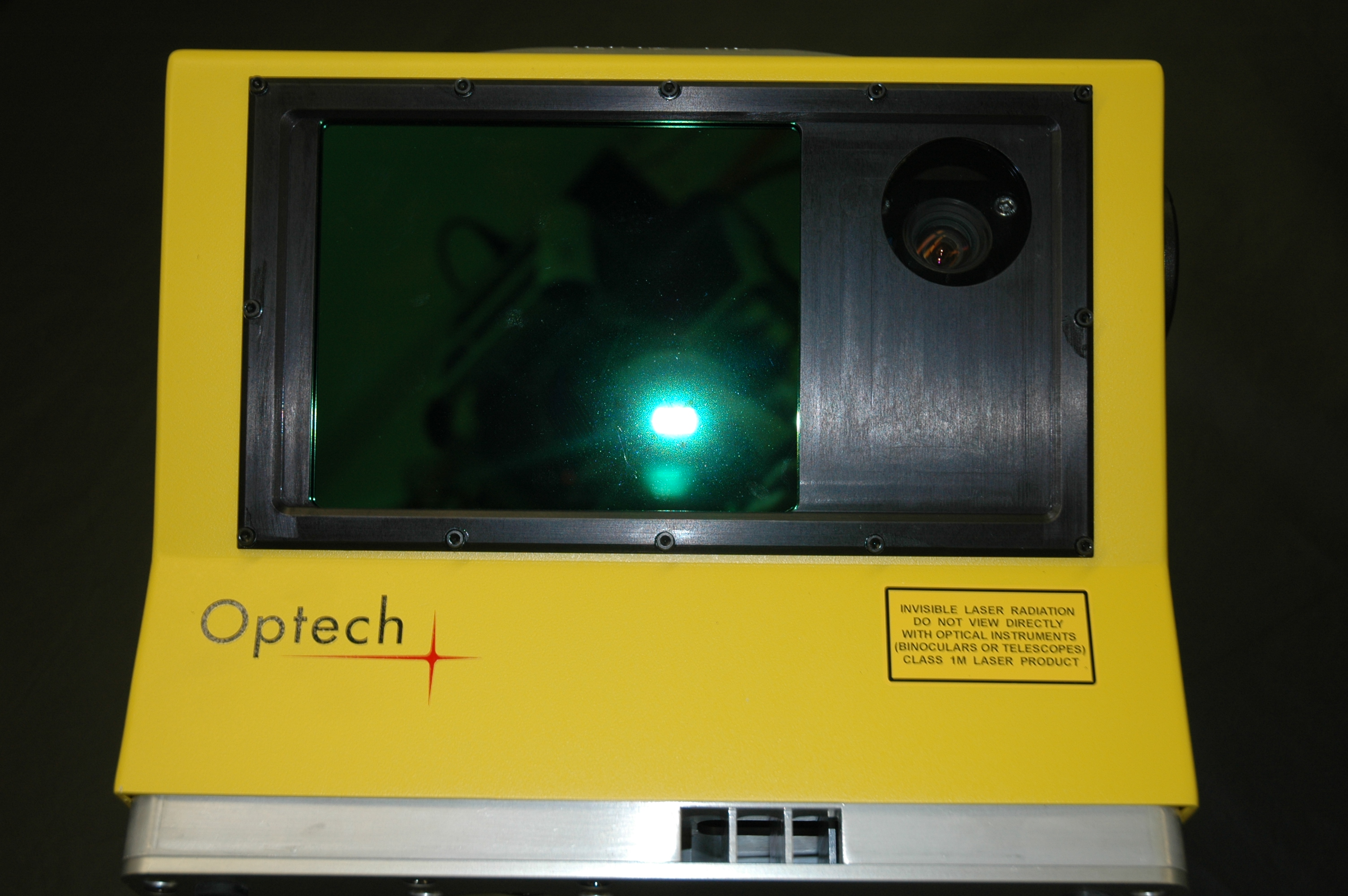
Figure 1: Optech ILRIS-HD
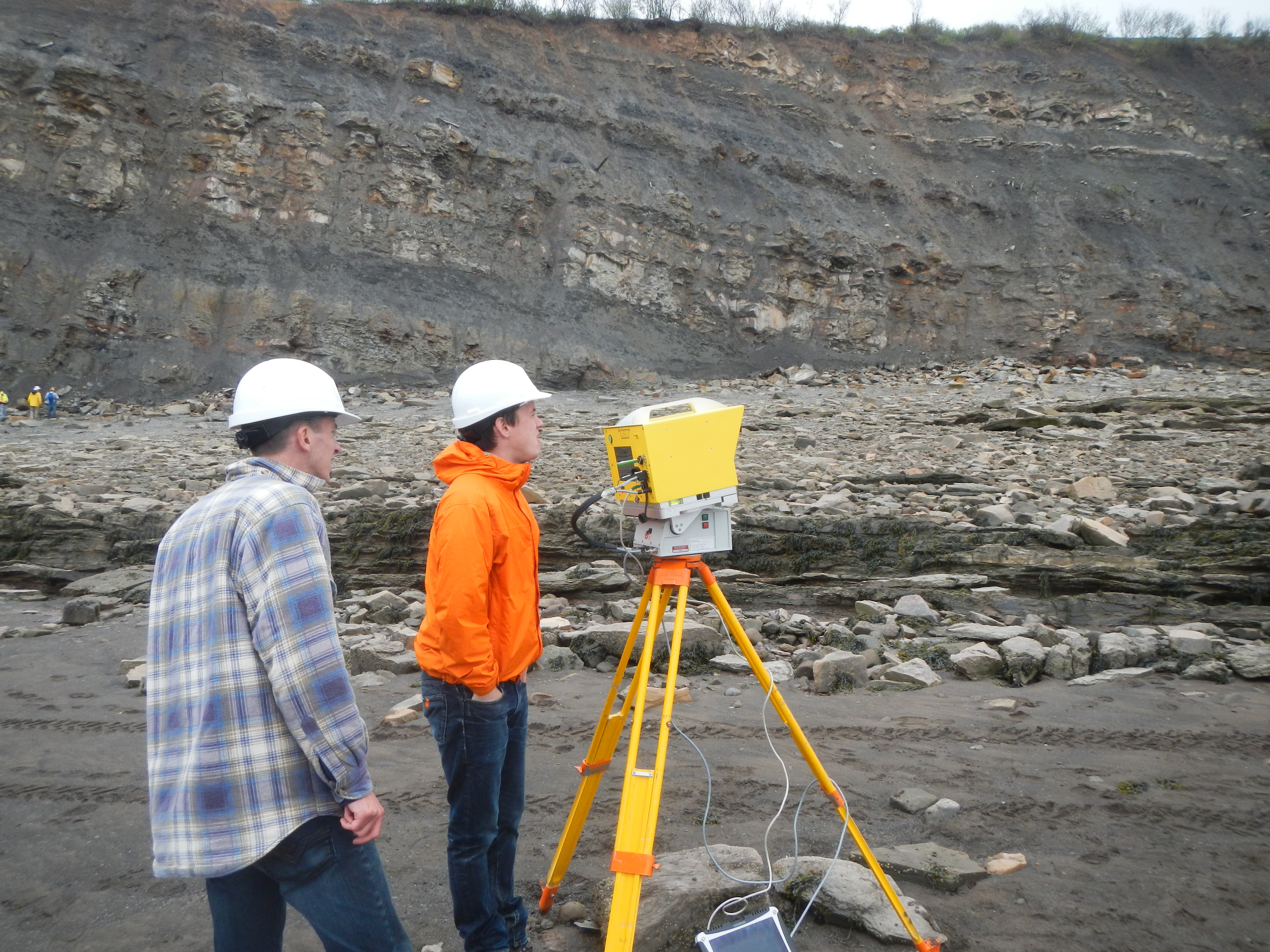
Figure 2: Deployment of the Optech ILRIS-HD at Joggins, Nova Scotia