
 |
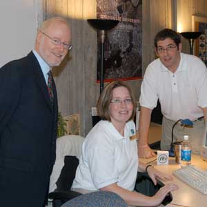
| James Boxall, Jennifer Strang and Dalhousie President Tom Traves AUDIO: Listen to CBC Radio interview |
The first of its kind in Canada, the new Geographic Information Systems (GIS) Centre officially opened within the Killam Library to a large and enthusiastic crowd on Nov. 16.
"It's all about maps," Director James Boxall said, succinctly describing the Centre, the largest of its type in Canada. The Dalhousie Centre is unique among Canadian universities. Its location in the library is unusual, but the scope of its data and software are also impressive. It offers many service, research and teaching applications to Dalhousie.
"Calgary may have more computers, but we have more GIS staff, interns and services, and we are rapidly adding more course offerings and online accces," said Boxall. There are over 150 computers throughout the library system that are GIS functional, and the Centre also has the capability to print full size colour maps.
President Tom Traves was on hand to officially launch the event, noting that the Centre has applications for all faculties. It will support research activities and provide support in areas ranging from project design and management, to cartographic design and production, and data analysis. The Centre negotiates software and geospatial data licenses for the campus, provides online access to those services and also manages all online courses related to the licensed software.
The opening coincided with GIS Day - an international celebration which has taken place since 1999 and occurs in conjunction with Geography Awareness Week.