
Equipment
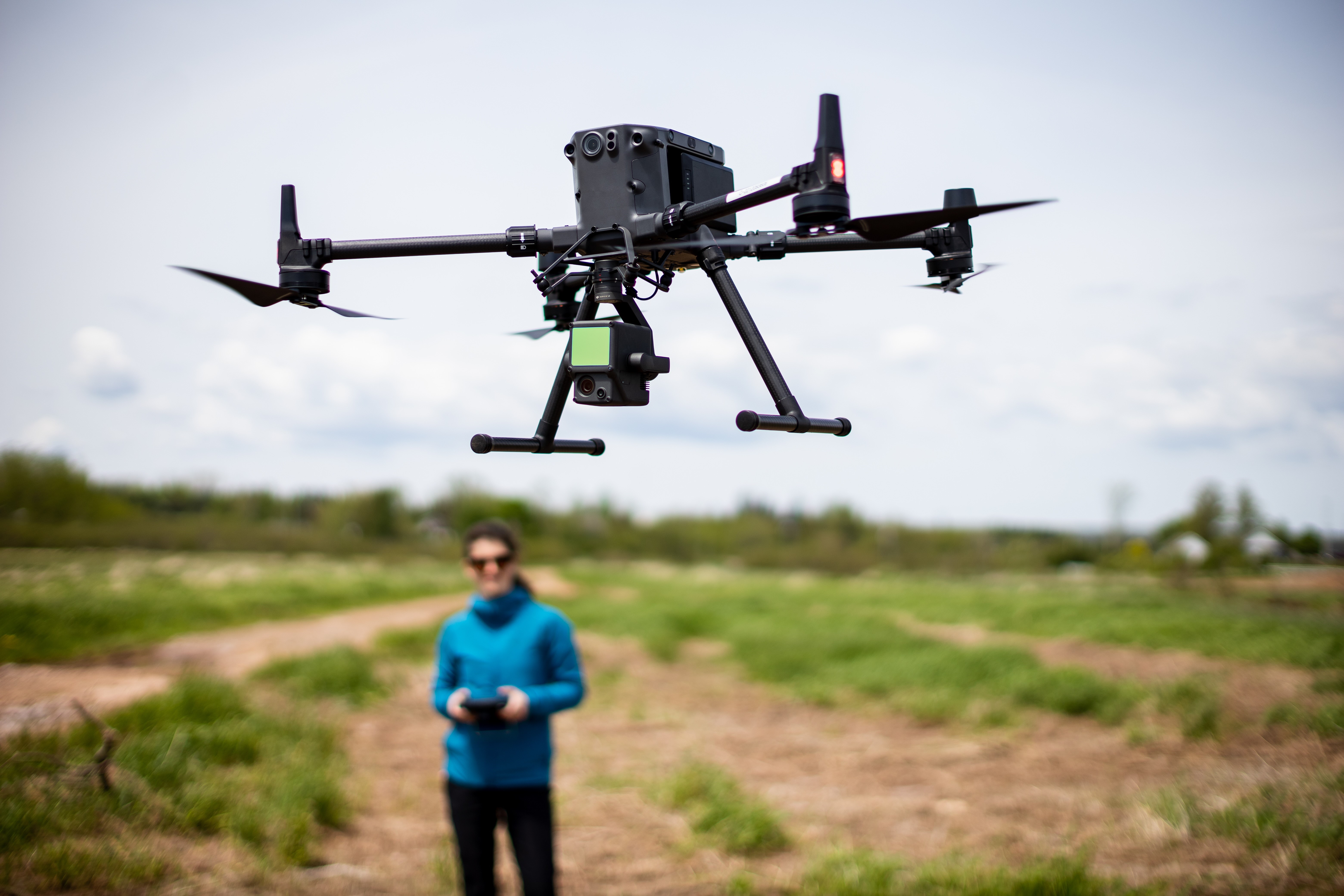
Remotely Piloted Aircraft System (Drone)
Our Matrice 300 RTK drone is equipped with a combined visual and thermal sensor (Zenmuse H20T) and LiDAR module (Zenmuse L1). The thermal mapping is used to detect cold-water habitat in rivers and estuaries and zones of focused submarine groundwater discharge. Photogrammetry and LiDAR are used to construct precise 3D models. Our Mavic Air 2 is used for site assesments and collecting visual aids.
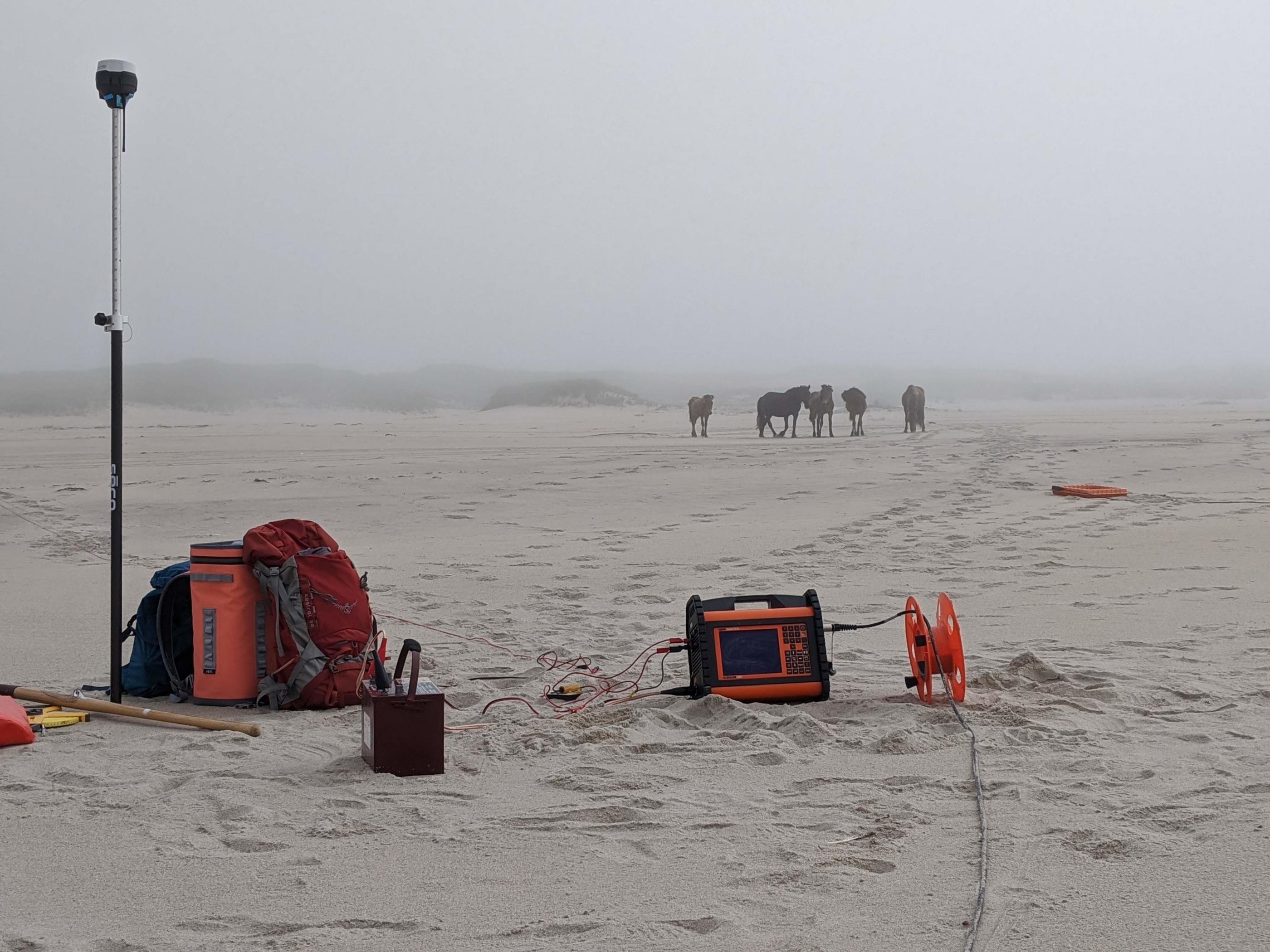
Time Domain EM Geophysics (WalkTEM)
Our WalkTEM instrument is used for obtaining 1D profiles of resistivity that can be collected along a transect to generate a 2D profile view of subsurface resistivity changes. This in turn can indicate stratigraphy, water table depth, or the freshwater-saltwater interface underlying islands or coastlines, with depths of confidence that can reach 100 m.
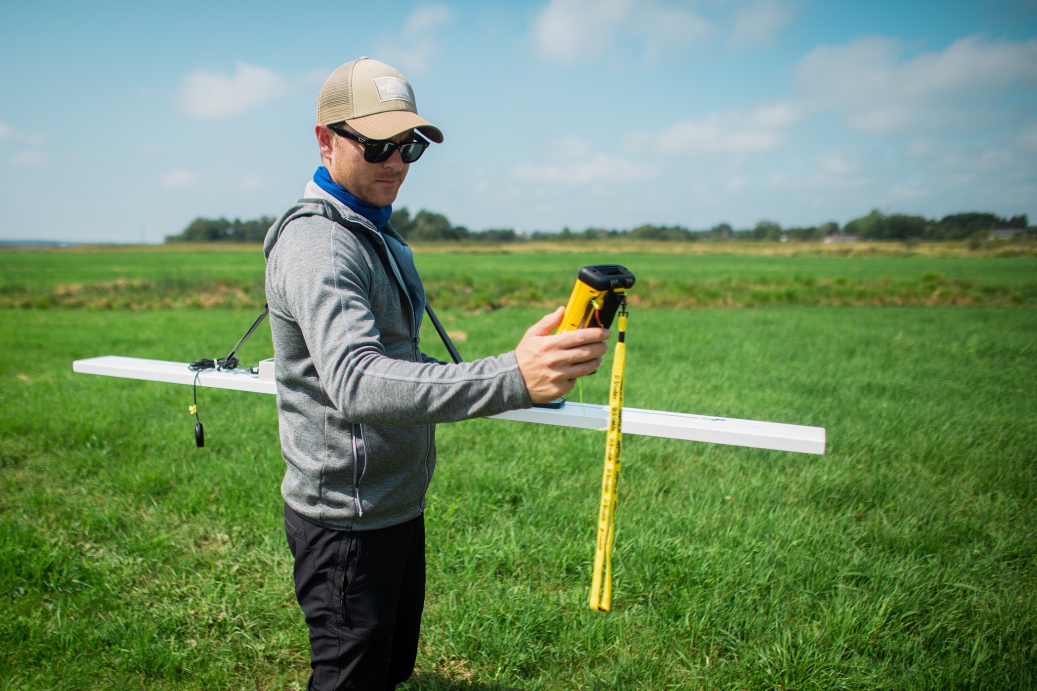
Frequency Domain EM Geophysics (GEM2)
Our GEM2 instrument operates at multiple frequencies and can be used to map electical resistivity in the upper few metres and, in some cases, resolve layered models of resistivity. Example applications include mapping permafrost table depths and zones of fresh submarine groundwater discharge.
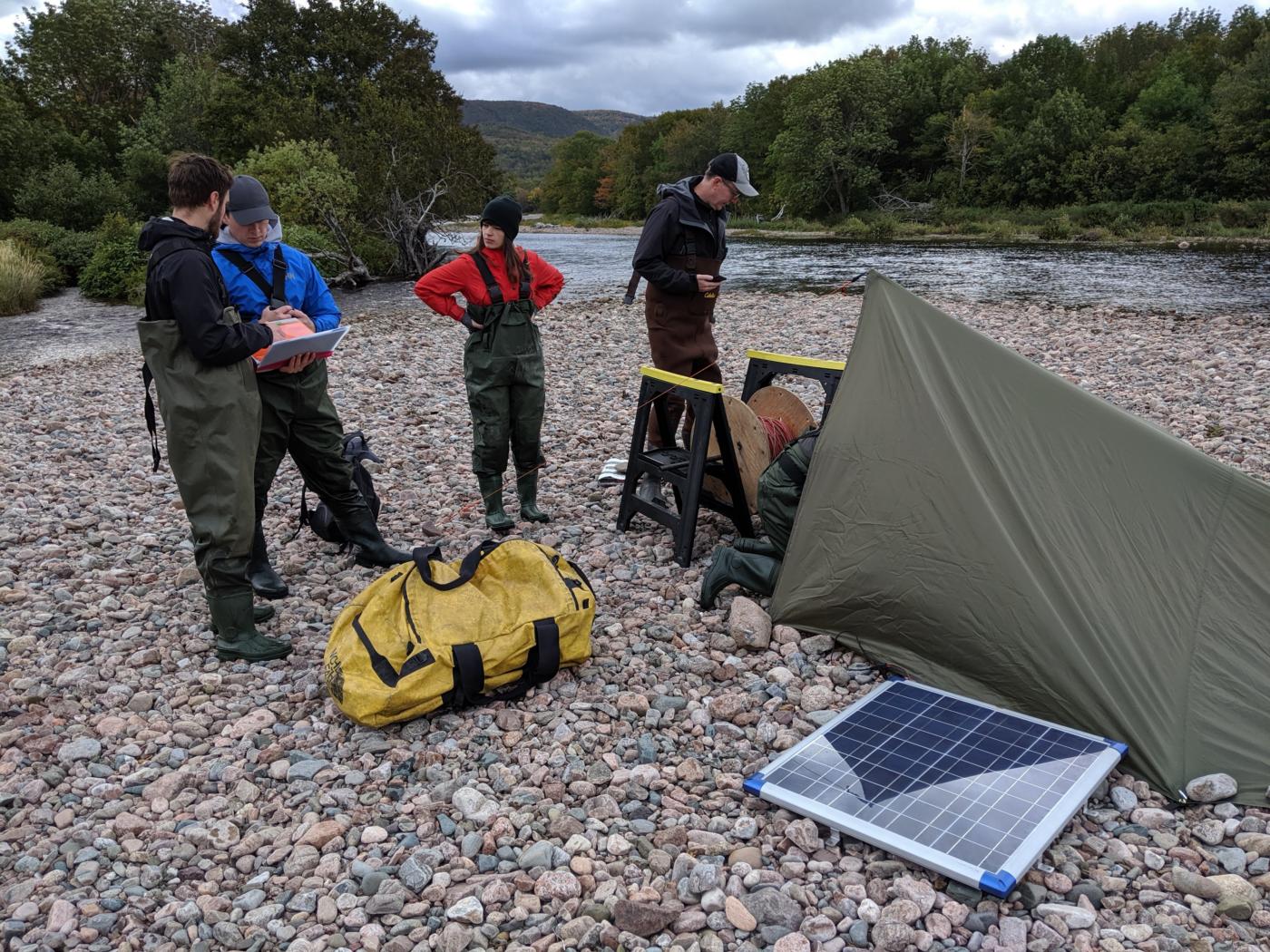
Fiber-Optic Distributed Temperature Sensing
Our shared fiber-optic distributed temperature sensing (FO-DTS) system can sense temperatures at high spatial resolutions along a multi-km cable and is useful for measuring spatiotemporal distributions of temperature down boreholes and along rivers or estuaries. We use the new, rugged XT-DTS system with much higher accuracy/resolution than previous generation models.
Radon Detector for Aquatic Applications
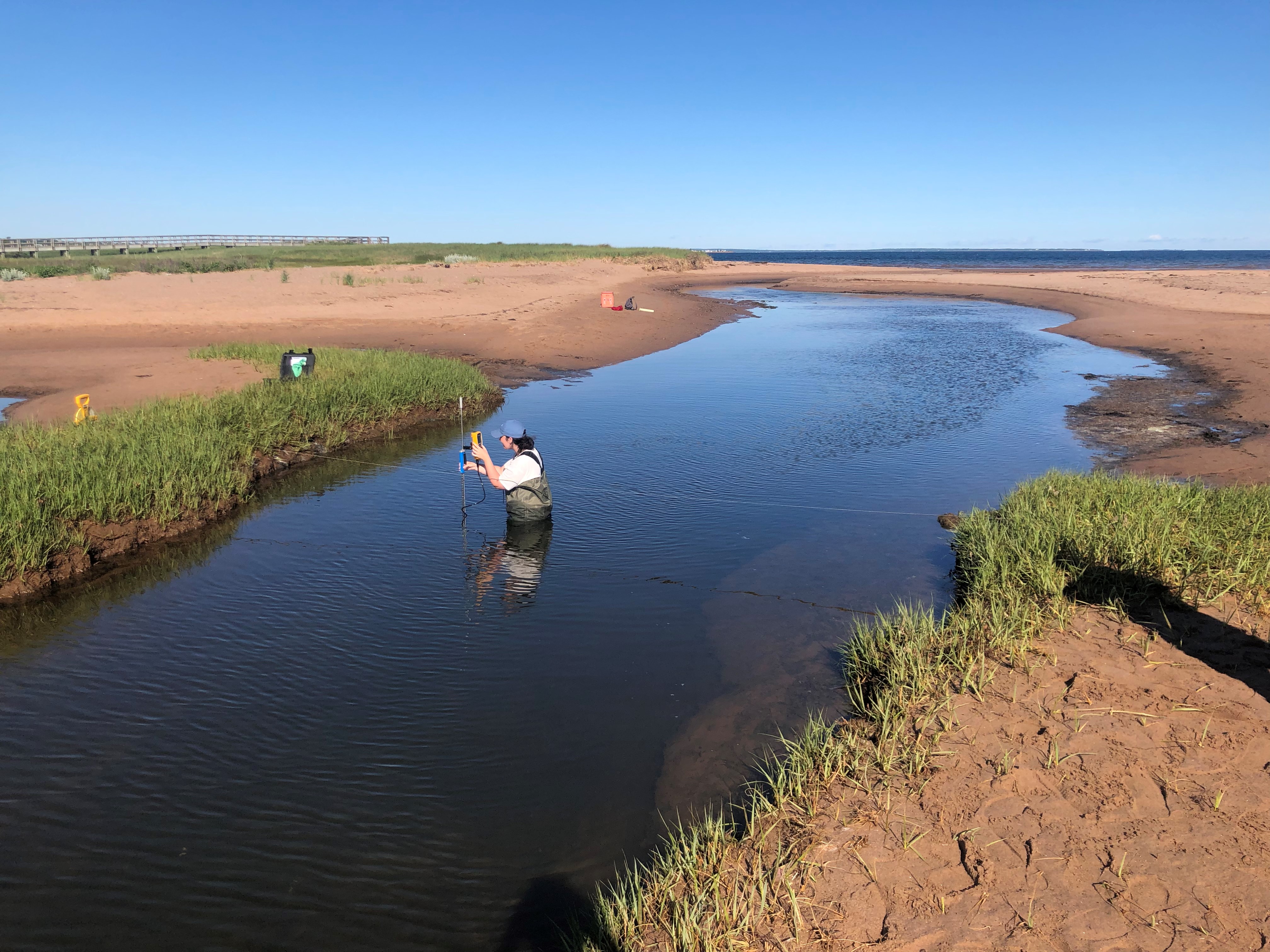
Radon concentrations are often orders of magnitude higher in groundwater systems than in surface water systems. We use radon as a tracer of groundwater discharge to rivers and marine bodies with measurements recorded by the RAD7 with the Aqua and H20 attachments.
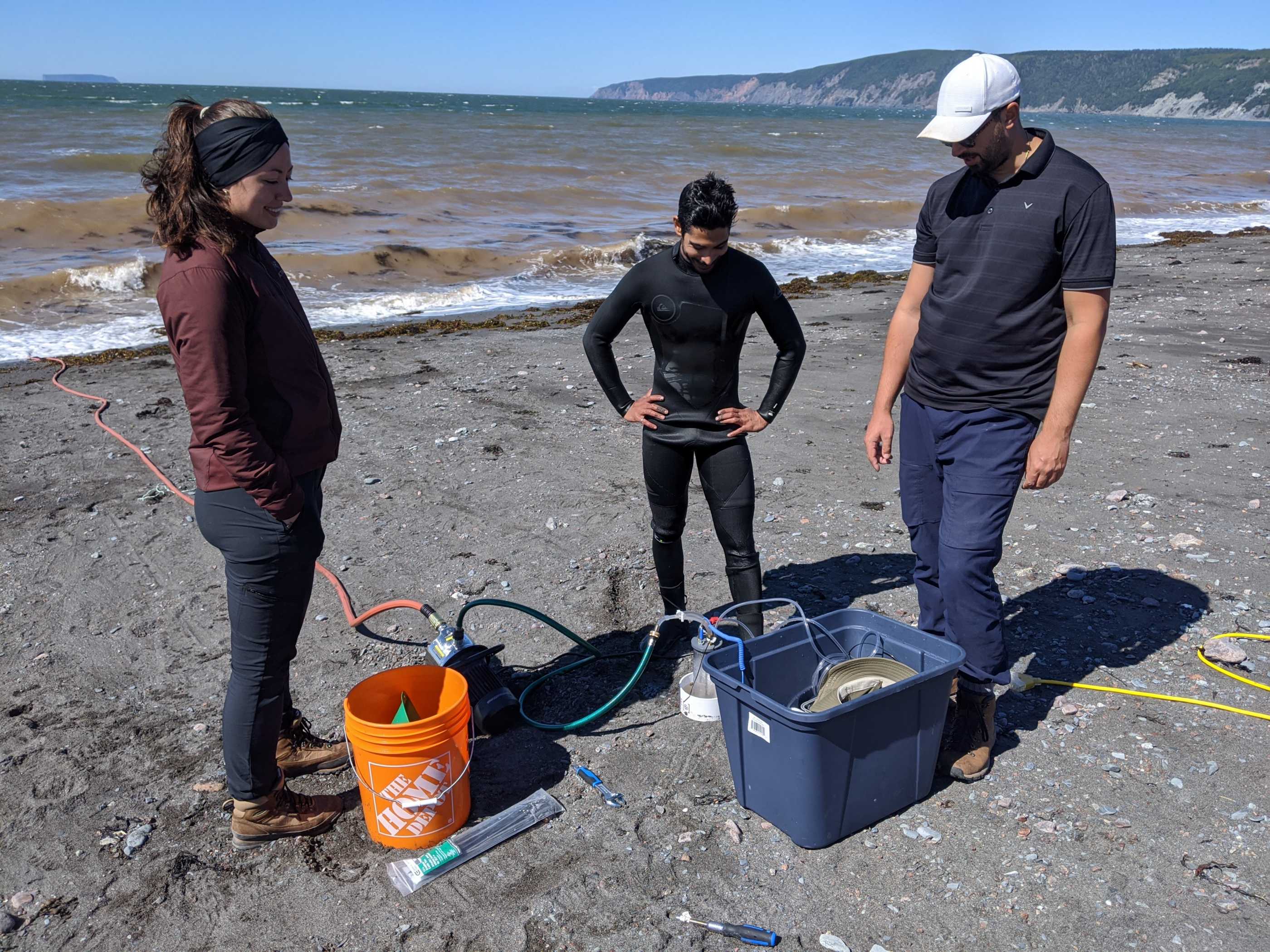
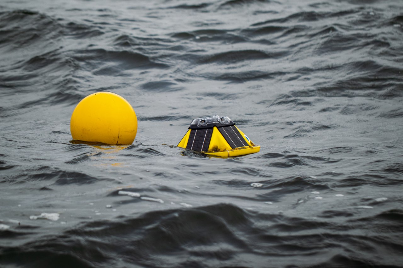
Coastal Hydrodynamic Loggers
We use wave and tidal loggers (RBR) and wave buoys (Sofar spotters) as well as CTD loggers to study ocean forcing on coastal freshwater systems.
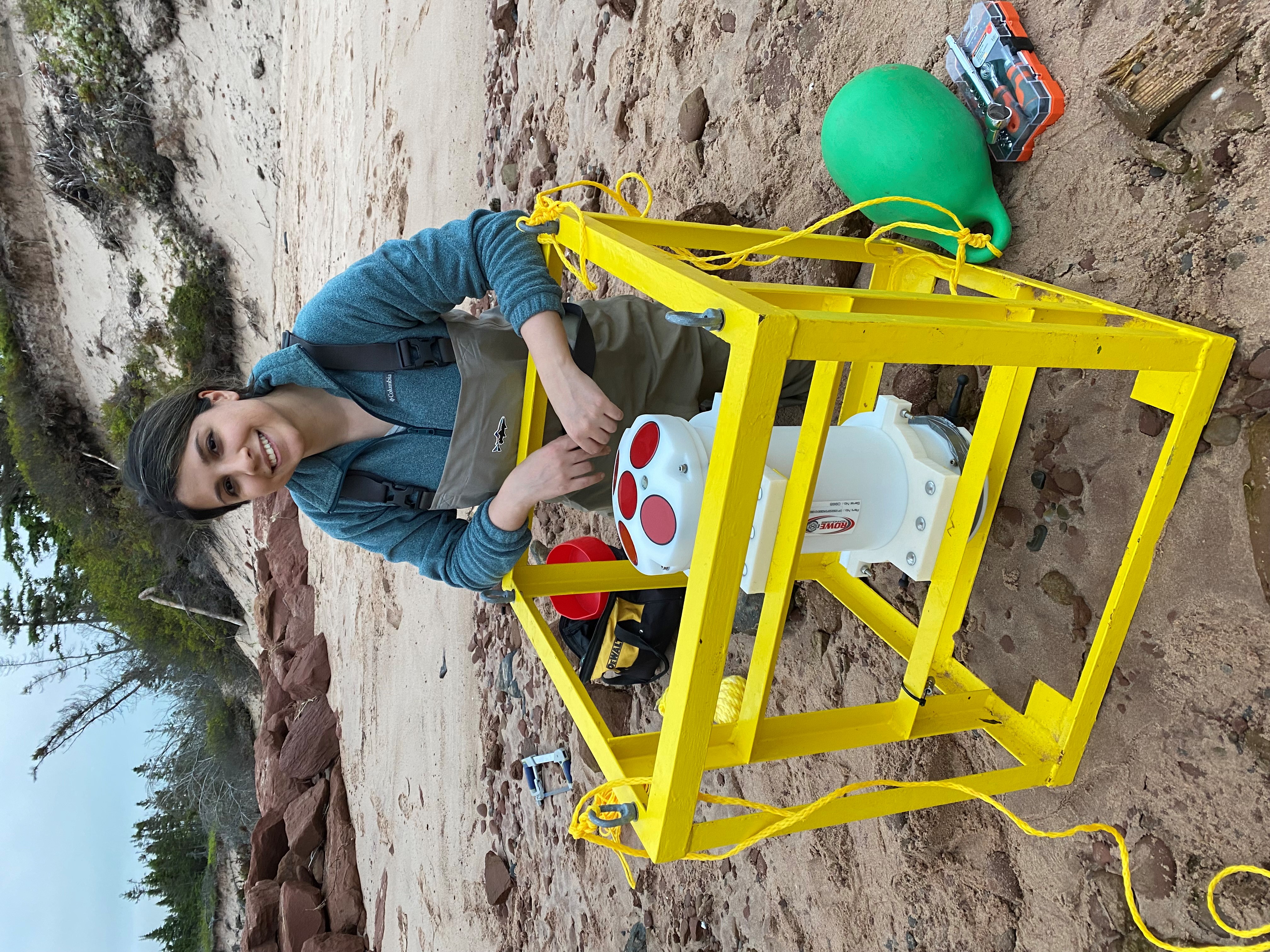
Acoustic Doppler Current Profiler (ADCP)
Our Rowe SeaWAVE ADCP is used to monitor current and wave dynamics of coastal water bodies. The ADCP measures wave spectra, wave direction, and complete current profiles through the Doppler effect.
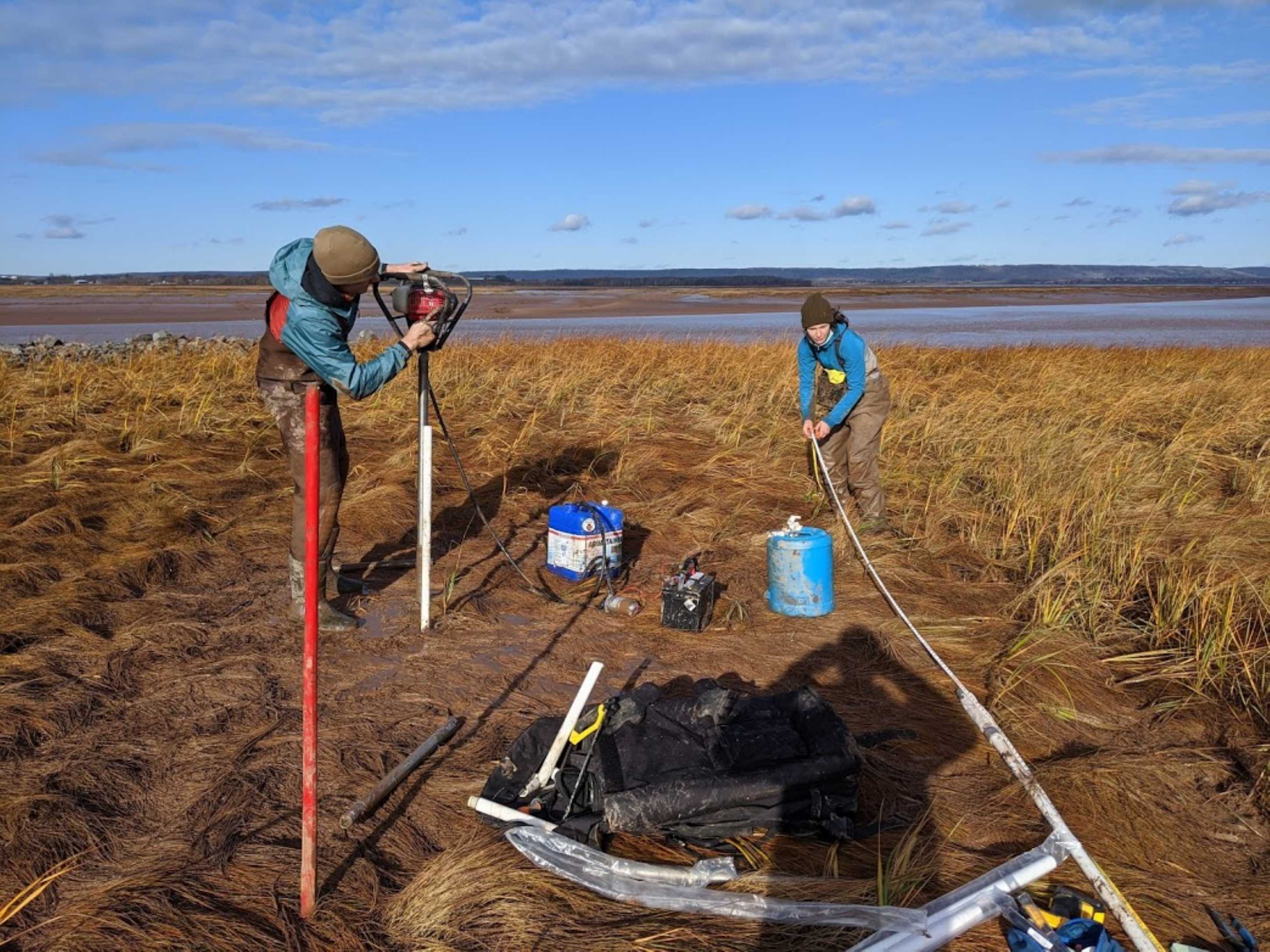
Backpack Drill
Our Shaw backpack drill is applied to drill shallow wells (< 10 m) in unconsolidated material. Shallow wells or piezometers installed with this system are monitored to study groundwater dynamics or to collect groundwater samples.
Hydrologic Equipment
Our lab owns several instruments that are typical in hydrology or hydrogeology labs, including a 3D Sontek FlowTracker, Hobo Water LevelLoggers, Hobo Tidbit temperature loggers (MX2203), a water level/temperature/conductivity tape, weather stations, and YSI and AquaTroll multi-parameter sondes.
Survey Equipment
In addition to our RTK drone, we have several survey instruments including standard levels and rods, multi-band RTK GNSS rover and base station units, and access to the NTRIP network for RTK corrections.

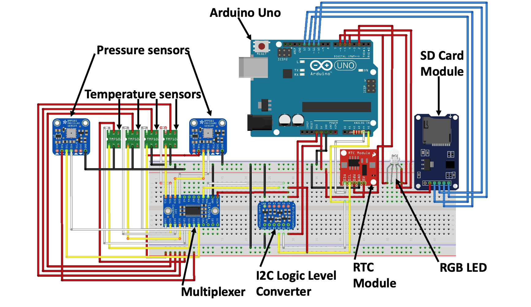
New Sensors
Our team is helping to develop new instruments for coastal sediment temperature, pressure, and conductivity monitoring using state-of-the-art sensors combined with emerging Internet-of-Things controllers/chips. We are also working on testing new plasmonic fiber-optic plasmonic sensors in partnership with PDF Dr. Yashar Monfared and Dr. Mita Dasog's lab.
Software Licenses
Our lab uses a combination of open-access models for simulating groundwater systems (e.g., MODFLOW, SUTRA, and SEAWAT) and coastal hydro- and morphodynamics (e.g., XBEACH). However, we also have licenses to leading simulators by DHI (MIKE, FEFLOW) and Aquanty (HydroGeoSphere) as well as post-processing tools (e.g., Surfer and Tecplot). Additioanlly, we have licenses for inverting or visualizing geophysical data (Aarhus Workbench, SPIA, and 1X1D) and for developing DSMs from drone data (e.g., Pix4D).
